Technical occupations in geomatics and meteorology
gather, interpret and utilize geographic information in natural resources, environmental research and land use planning; or record, interpret and report on weather and atmospheric conditions.
On This Page
Full NOC Description
Main Duties
- This group performs some or all of the following duties:
- Aerial survey and remote sensing technologists and technicians
- Operate analog or digital airborne remote sensing equipment such as survey film or digital cameras, laser or radar sensors and scanners to prepare images, data and graphic reports, maps and charts from airborne or satellite data
- Develop specialized analog and computer software specific routines to customize and integrate image analysis
- Inspect quality of recorded images, verify the integrity and accuracy of data contained in remote sensing image analysis systems, and adjust equipment as required.
- Geographic information systems (GIS) technologists and technicians
- Operate specialized computer hardware and software and peripheral equipment to model, manage, analyze and display geospatial data
- Develop specialized computer software routines, Internet-based GIS, database and business applications to customize geographic information
- Work with external organizations on data transfer and systems compatibility issues
- Perform data entry and editing activities and maintenance operations to systems following predetermined calibration procedures
- Integrate external software such as spreadsheets and statistical packages with GIS software
- Train and provide technical support for GIS users.
- Cartographic technologists and technicians
- Plan map content, format and design and compile required data from aerial photographs, survey notes, records, reports and other maps
- Generate maps and related graphs and charts using digital mapping techniques, computer interactive graphics, computer-assisted design and drafting (CAD) software, traditional drafting methods and computer or traditional scribing tools
- Inspect final compositions to ensure completeness and accuracy.
- Photogrammetric technologists and technicians
- Examine and interpret aerial photographs to prepare topographic maps, aerial-photograph mosaics and related charts
- Operate digitized stereoscopic plotting and computer graphics equipment to provide three-dimensional optical models of terrain, to trace maps, and to prepare charts and tables
- Monitor recording quality and adjust equipment as required and inspect quality of recorded images.
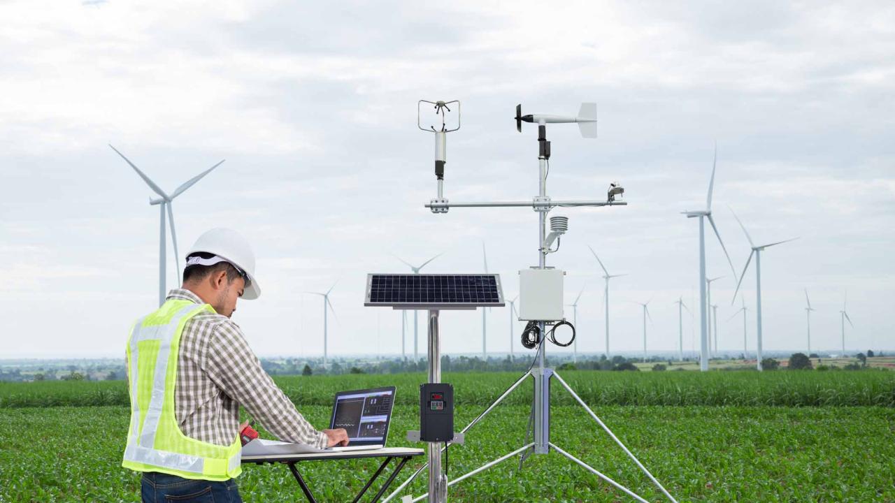
- Meteorological technologists and technicians
- Observe, record and transmit atmospheric and weather information including air pressure, temperature, humidity, precipitation and cloud, wind and ultraviolet conditions
- Observe, chart and report on ice conditions in navigable waters and snow conditions, and participate in programs to forecast and control avalanches in mountainous terrain
- Maintain climatological databases, analyze and interpret weather data and participate in the production of weather maps, charts and reports
- Install, inspect, monitor, calibrate and maintain meteorological equipment and instruments.
Also Known As
- aerial survey technician
- aerological technician
- avalanche controller
- avalanche technician
- cartographer
Employment Requirements
- Completion of secondary school is required.
- Geomatics technologists and technicians require completion of a college program in geomatics, cartography, photogrammetry, aerial survey, remote sensing, geographic information system (GIS) or geomatics.
- In Quebec, membership in the regulatory body for professional technologists is required to use the title ''Professional Technologist''.
- Meteorological technicians require completion of a one-year meteorological technician program provided by the Meteorological Service of Canada.
- Further specialized training is available for meteorological technicians, and may be required by some employers.
Provincial Regulation
- Provincially Regulated: Yes
The following graph shows the percentage of men and women working in this occupation in New Brunswick.
Data legend
The following graph shows the breakdown of all persons working in this occupation in New Brunswick by age group.
Data legend
The following graph shows the breakdown of all persons working in this occupation in New Brunswick by highest level of education achieved.
Data legend
The following graph shows the industry groups in which the largest shares of persons working in this occupation in New Brunswick are employed. Small percentages for all top three industry groups may suggest employment for this occupation is widely distributed amongst many industry groups.
Data legend
The following graph shows the breakdown of all persons employed in this occupation in New Brunswick by which economic region they reside in.
Data legend
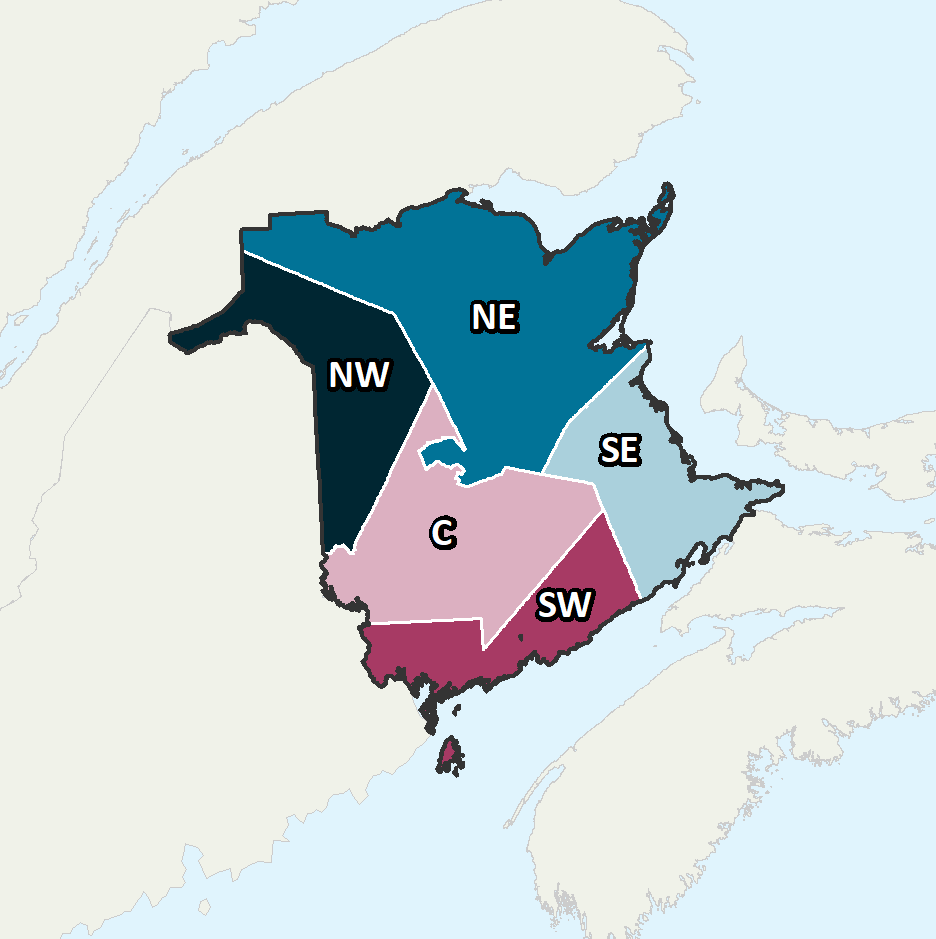
Economic Regions
The following map displays New Brunswick’s five economic regions. An economic region (ER) is a grouping of counties, created as a standard unit for analysis of regional economic activity across Canada.
The following graph shows the average salary of all persons employed in this occupation in each of New Brunswick’s five economic regions.
Data legend
Economic Regions
The following map displays New Brunswick’s five economic regions. An economic region (ER) is a grouping of counties, created as a standard unit for analysis of regional economic activity across Canada.
The following represents the median hourly wage of all persons employed in this occupation in each of New Brunswick’s five economic regions.
The following shows the average salary of everyone who worked full-time and year-round in this occupation across each of the Atlantic Provinces and nationally.
The following represents the number of job openings that are expected to occur in this occupation over the next three and ten years respectively, broken down by openings expected to result from growth (“new jobs”) and openings expected to result from attrition (death and retirements).
Share this page
No endorsement of any products or services is expressed or implied.